If you can't see it, you can't manage it.
Keep your project on track with accurate, real-time documentation.
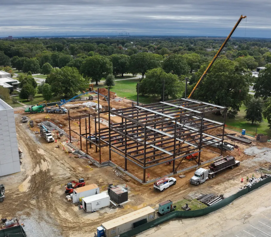
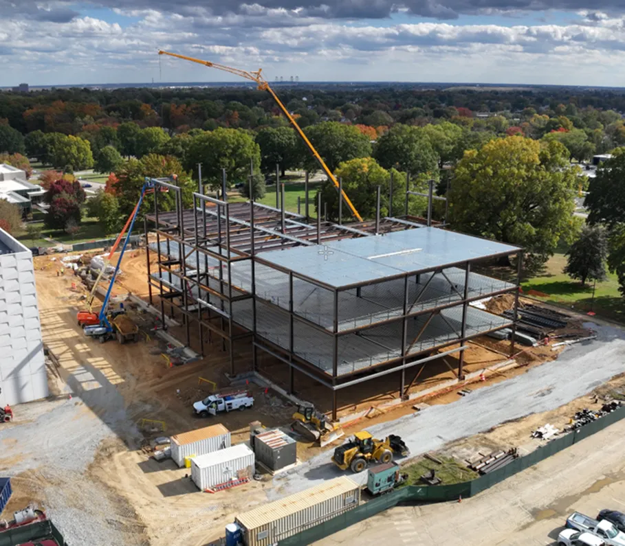
Procore Progress
Sync aerial maps and photos to Procore for instant progress documentation and verification.
- Direct integration with Procore
- Aerial maps to drawings and daily Logs
- As-built vs. as-designed verification
- Auto-sync to daily logs

GPS Layout
GPS layout delivers precise, real-time site positioning from your CAD file.
- Layout, as-built, or stakeout from your CAD file
- Subcentimeter accuracy with real-time GPS
- Grading, excavation, and pre-pour validation
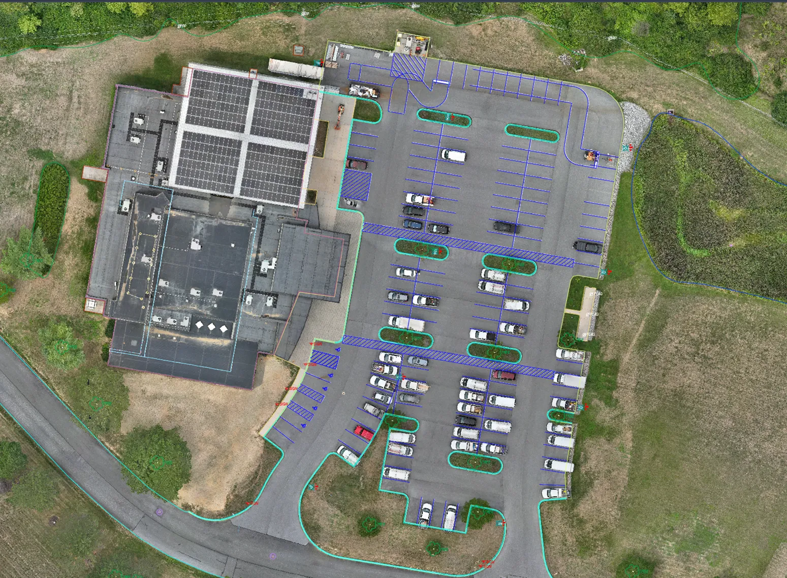
CAD-to-Ortho Overlay
Compare as-built and design instantly with georeferenced aerial imagery in your CAD.
- Orthomosaic overlaid into CAD or drawing
- More accurate QC/QA
- Design vs. as-built verification
- DXF, PNG, JPG format support