The earth doesn't lie. Your estimates might.
Get accurate cut/fill volumes and as-built verification on demand.
Cut-Fill Volumes
Track and measure cut-fill volumes faster and more reliably.
- Pre-construction validation – verify your bid and existing conditions
- Get paid faster – progress updates for payment submission
- Reduce rework – live documented site conditions

As-Builts
Get those as-builts done and out the door faster.
- Minimize surveyor costs - cut down on surveyor hours and time to delivery
- Reduce CAD development - full back office support on all as-built services
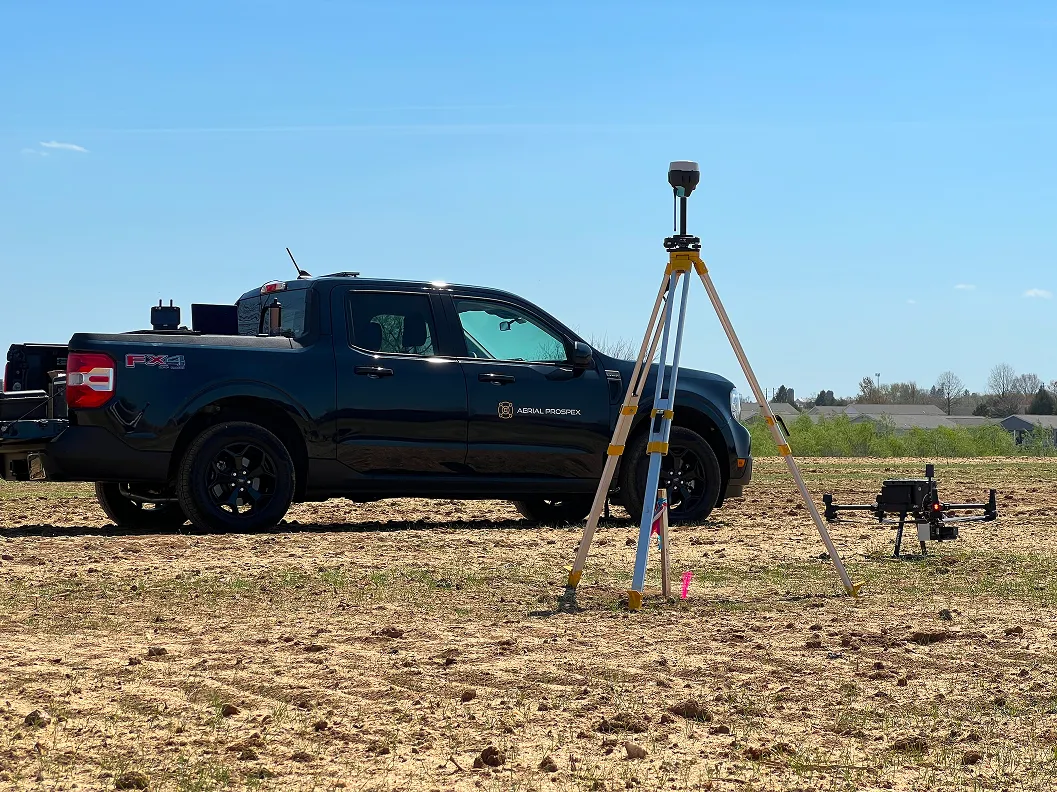
- 0.1' accuracy - LiDAR tied to site control for near-perfect overlay
Integration & GPS Machine Control
Our deliverables integrate with common earthworks software. Full service GPS machine control support for file creation, control setup, equipment troubleshooting, training, and consulting.
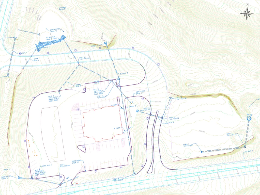
- CAD deliverables
- Cut-fill heat maps over orthomosaics for field operations
- Pond as-builts—elevations, volumes, and shapes of ponds, basins, structures